

May 2-May 5, 2018
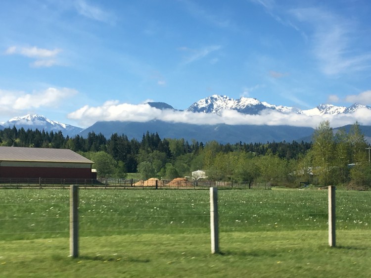
We stayed in Port Angeles, WA, just outside of the entrance of Olympic National Park’s Hurricane Ridge. We stopped by the make-shift visitors center (renovations) before heading up to the top for our picnic lunch. It may of been the grandest picnic spot we’ve encountered on our adventure. It was also my first time using the Go Pro.
Because the visitors center at the top was closed there was only one bathroom open. We had to wait in line for 20 minutes! Visiting these mountains in the spring is tricky because there is still a ton of snow so the entire park is not open. We had packed our sleds only to find ‘no sledding’ signs when we reached the snow at the top :(.


Olympic National Park has three distinct geologies over their 1,440 sq miles; temperate rain forests, coastline and mountains. We only visited the mountain section because we have seen so much of the coast and rainforests over the last several months in Oregon. And because of our RV repairs our time here was shortened to three days instead of the entire week.
We chose instead to drive all the way out to the Northwestern most point of the contiguous US, to Cape Flattery. It took us an hour and 45 min to drive from our RV park. The drive along the Strait of Juan de Fuca, looking over to the Vancouver Island with Victoria across the way was beautiful. The point of the Olympic peninsula is where the Strait dumps in the Pacific Ocean. Cape Flattery is the oldest permanently named feature in Washington state, being described and named by James Cook in 1778. It is also only 360 feet short of being the western most point of the contiguous US. Cape Alava holds that title and can be found just south of Cape Flattery inside the beach portion of Olympic National Park.


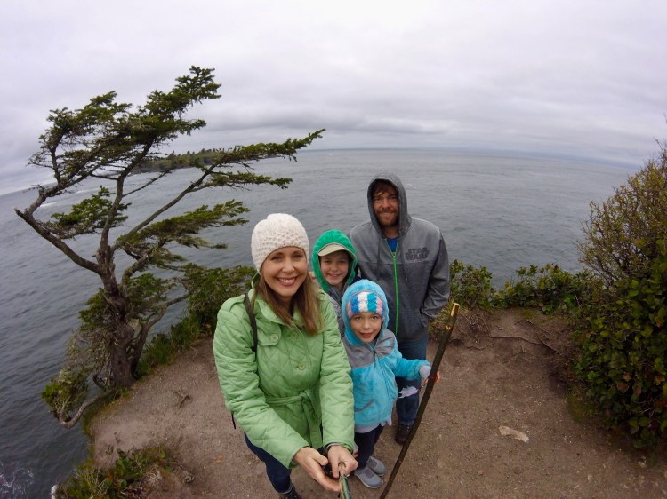
Northwestern most tip of the contiguous United States, Cape Flattery
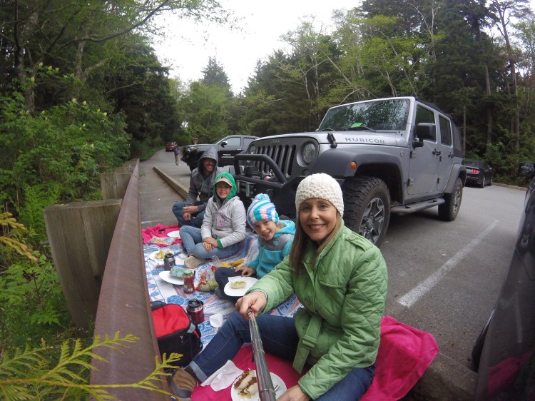
Cape Flattery is on the Makah Indian Reservation near Neah Bay. As you enter the Peninsula you will see there is a no alcohol rule and a $10 permit fee. You need to stop at the Makah Museum on your left to pay and pick up your permit that is good for a whole year. You should pay the admission to visit the Makah Museum. We did this before we hiked out to the point. In 1970, they uncovered over 1000 artifacts that were preserved very well from a mudslide in the early 17th century and have them on display here. The Makah people are fisherman and hunt whales. You get to learn all about their culture and assimilation. They did a nice job with the exhibits, definitely worth the visit. Bonus- they have bathrooms ( first stop after being in the car for an hour and a half).


We packed our picnic dinner to eat out at the cape but when we arrived at the parking lot we discovered it was quite a hike out there and didn’t want to hike while carrying our food and we were starving so we decided instead to eat in the parking lot on the ground. FYI- there are no picnic tables.
Cape Flattery
Elwah Dam RV park was a nice park. They backed up to a wooded area with a trail that we hiked after dinner one night. The trail took you to an overlook of the old Elwah Dam. It had been built in 1913 but because of the construction blocked the migrating salmon, they tore it down in 2011.
Here is the BEFORE picture. 
Here is the AFTER picture. 
The owners have their horses on the property and allowed us to feed them carrots and visit them everyday.


There was a big bike race going on the weekend we were staying here so the RV park filled up quickly with so many kids. It was round 2 of the the NW cup downhill race series. The girls were thrilled to have kids to hang out with it all day Friday before the race on Saturday. They asked me if they could do their school work on Saturday during the race instead of Friday so they could play all day. I had already told Chris I was going to present them with the same proposal but when they came up with it on their own, I was thrilled!
We can’t find our RV spot picture. But we did find the picture of the clean wheel after Chris washed the rig one afternoon.

